WGS84 Plate Careé
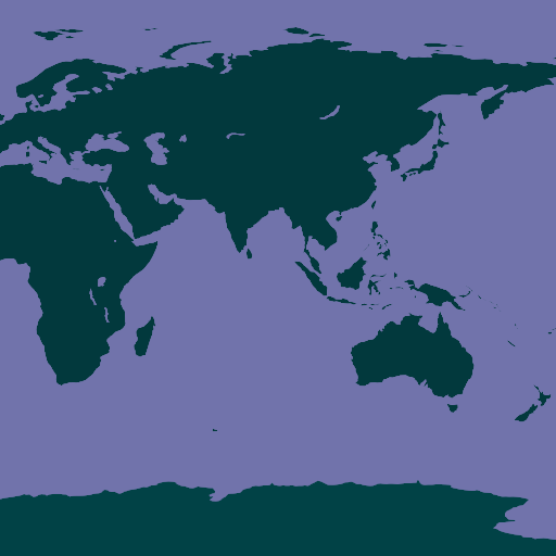
Demo: OpenLayers — Leaflet — Cesium
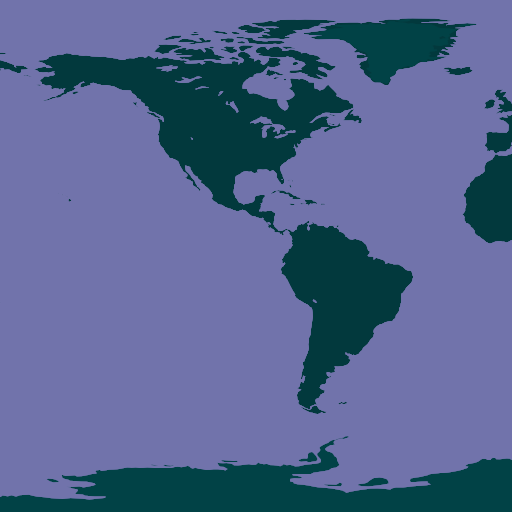
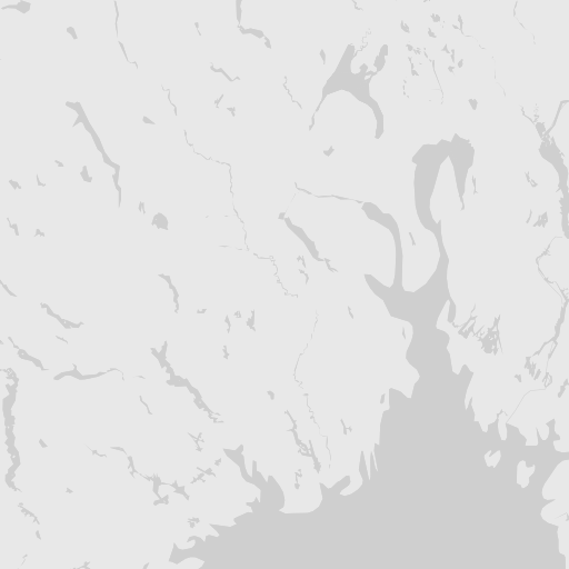
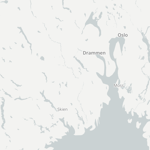
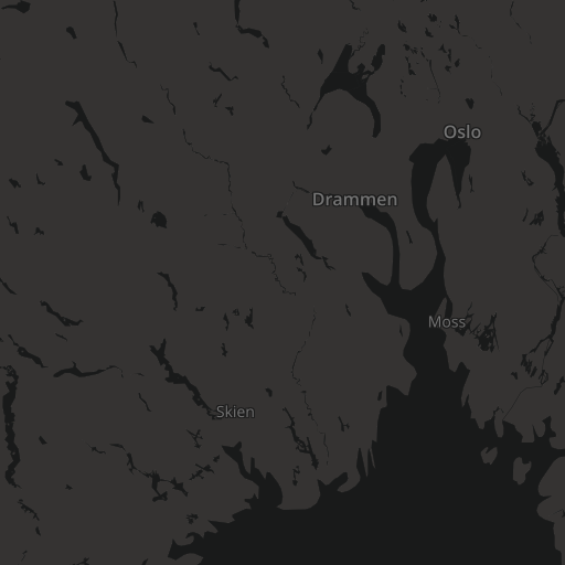
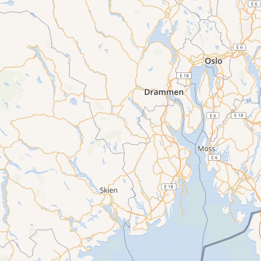
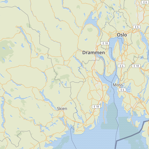
Web Mercator
Demo: OpenLayers — Leaflet
Arctic LAEA on 10°E
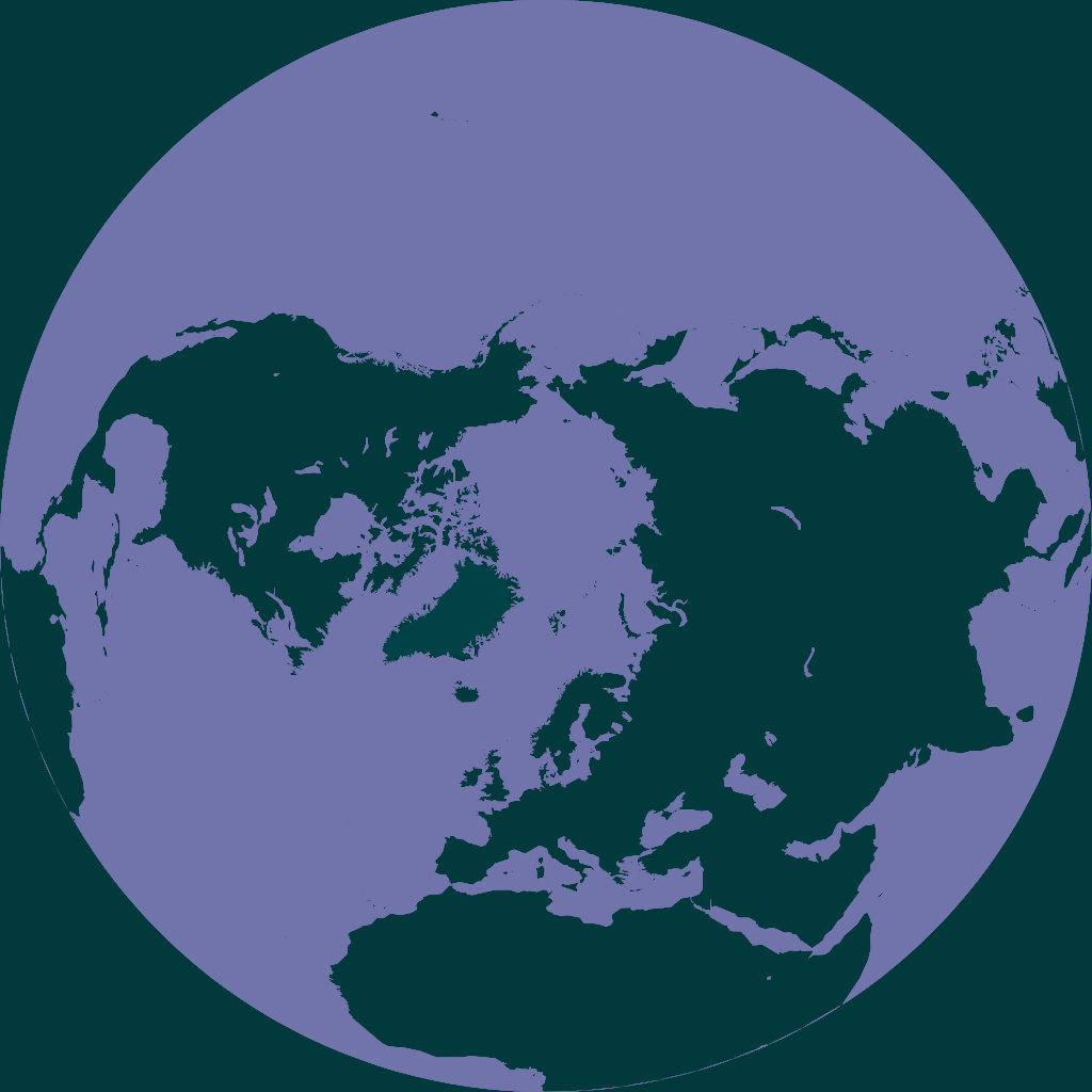
Demo: OpenLayers — Leaflet
Antarctic Stereographic
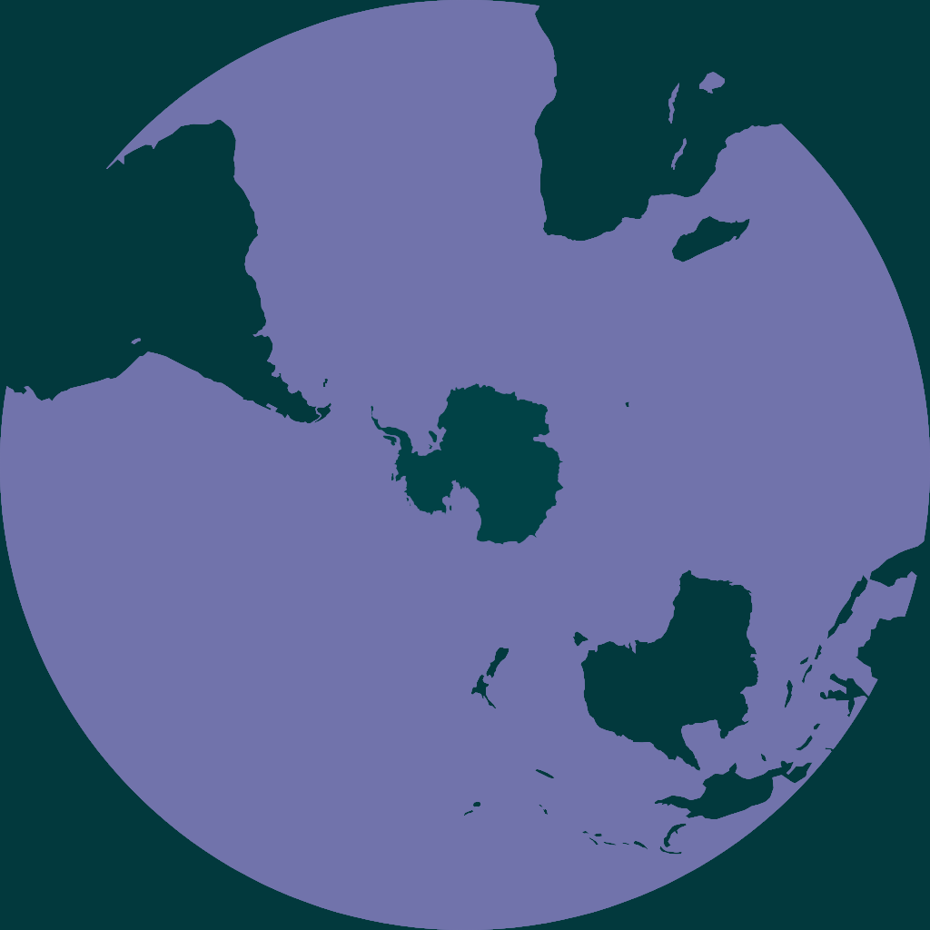
Demo: OpenLayers — Leaflet
GBIF hosts map tiles in four projections, for use on GBIF.org and by users of our API. We serve vector tiles based on the OpenMapTiles.org schema, and from these generate raster tiles in several styles. Both the vector and raster tiles are available for public use.
For information on occurrence map tiles, see the GBIF Maps API.
The Web Mercator tiles are simply those from OpenMapTiles.org, see the OpenMapTiles schema (v3.6) for details. The other projections have been generated to fit the same layer schema, but with fewer layers — see below.
Web Mercator tiles are from 2017-07-03.
The other projections use OpenStreetMap and Natural Earth data. We do not plan to make frequent updates to the tiles, since the geological features of most interest to us do not often change.
WGS84 tiles are from OpenStreetMap as of 2017-08-28, and Natural Earth version 2.0.0.
Arctic (3575) tiles are from OpenStreetMap as of 2019-01, and Natural Earth version 2.0.0.
Antarctic (3031) tiles are from OpenStreetMap as of 2017-08-28, and Natural Earth version 2.0.0.
The schema for the vector tile layers follows the OpenMapTiles schema, but with fewer layers included for the non-Mercator projections. In addition, the Arctic LAEA projection includes a world_extent layer, with a polygon for the Northern Hemisphere, and a graticules layer, containing a lines for 45°N and the Arctic Circle.
Vector tiles can be styled in the browser. For a general overview of vector tiles, see the OpenMapTiles documentation.
| Projection | Layers in “omt” vector tiles |
||||||||||||||||
|---|---|---|---|---|---|---|---|---|---|---|---|---|---|---|---|---|---|
world_extent |
graticules |
water |
waterway |
landcover |
landuse |
mountain_peak |
park |
boundary |
aeroway |
transportation |
building |
water_name |
transportation_name |
place |
housenumber |
poi |
|
| EPSG:3857 |
✓ | ✓ | ✓ | ✓ | ✓ | ✓ | ✓ | ✓ | ✓ | ✓ | ✓ | ✓ | ✓ | ✓ | ✓ | ||
| EPSG:4326 |
✓ | ✓ | ✓ | ✓ | ✓ | ✓ | ✓ | ✓ | ✓ | ✓ | ✓ | ✓ | ✓ | ||||
EPSG:3575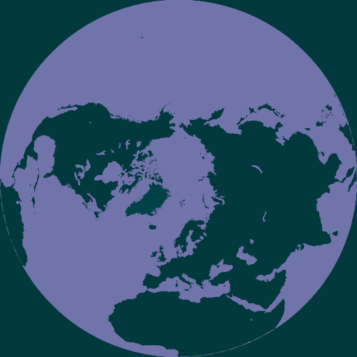 |
✓ | ✓ | ✓ | ✓ | ✓ | ✓ | ✓ | ✓ | ✓ | ✓ | ✓ | ✓ | ✓ | ✓ | ✓ | ✓ | ✓ |
EPSG:3031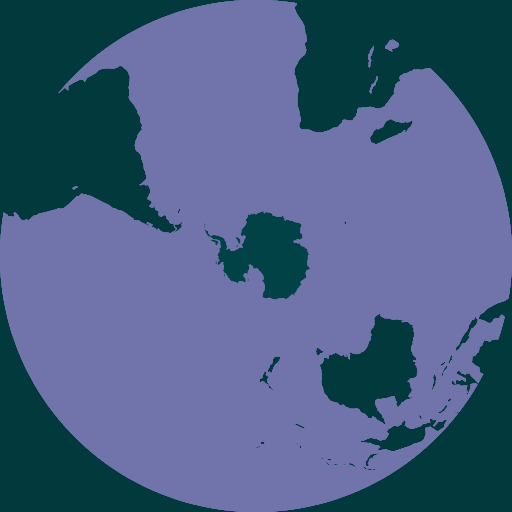 |
✓ | ✓ | ✓ | ||||||||||||||
Eight raster styles are available, they can be used with any of the projections, but will only have the layers that exist in that projection.
gbif-classic
gbif-light
gbif-middle
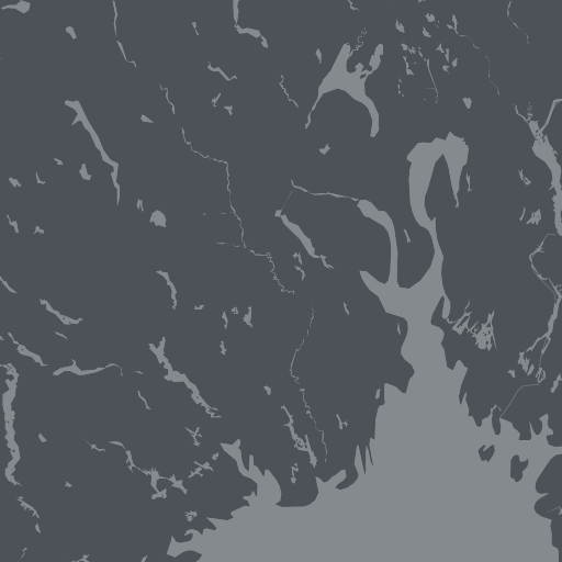
gbif-dark
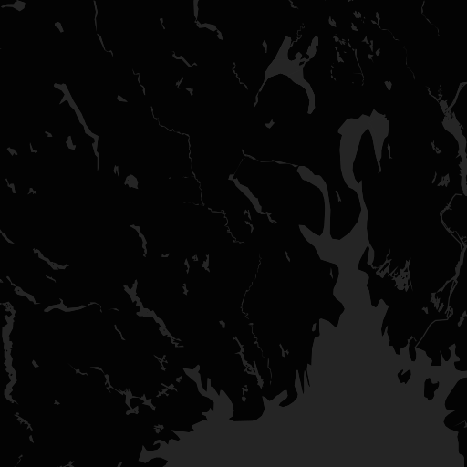
gbif-geyser
gbif-tuatara
gbif-violet

osm-bright
gbif-natural
The “GBIF Geyser”, “GBIF Tuatara”, “GBIF Violet”, “OSM Bright” and “GBIF Natural” styles are available with labels in several languages. The default is for labels to be in the local language(s) of the country. Use the style names like gbif-geyser-XX, where XX should be replaced with ar, da, de, en, es, fr, ja, pt, ru or zh to have the labels translated, where possible.
URLs take this format: https://tile.gbif.org/{srs}/{tileset}/{z}/{x}/{y}{format}{params}
Tiles are available over either HTTPS or HTTP, but HTTPS is recommended to take advantage of HTTP/2.
Web Mercator tiles use the standard Google/OpenStreetMap tile schema; at zoom zero a single tile covers the Earth between -180° to +180°, and -85.06° to 85.06°. The default tile size for PNG tiles is 512×512px.
There is no universal standard for the other projections, so you will need to use these parameters:
| Projection | Extent of zoom zero in projection units (left, top, right, bottom) |
Tile(s) at zoom zero |
|---|---|---|
| EPSG:4326 (WGS84) |
–180°, 90°, 180°, –90° | |
| EPSG:3575 (Arctic LAEA on 10°E) |
The northern hemisphere: –6371007.2 √2, 6371007.2 √2, 6371007.2 √2, –6371007.2 √2 |
|
| EPSG:3031 (Antarctic stereographic) |
The southern hemisphere: –12367396.2185, 12367396.2185, 12367396.2185, –12367396.2185 |
|
If you are using OpenLayers or Leaflet, it will be best to look at the examples.
The OpenLayers minimal pages show only a GBIF raster base layer. Start here if you are new to OpenLayers, and start with the Web Mercator projection if you are new to web maps in general.
The OpenLayers demo links show the GBIF base vector layer and GBIF base raster layers, plus a non-GBIF base layer, and two GBIF occurrence density layers — one raster and one vector.
The Leaflet map uses the Leaflet library. Support for non-Mercator projections uses a plugin and is buggy, but for simple Web Mercator maps performance may be better than OpenLayers.
Static (non-interactive) maps can be displayed using HTML and some CSS:

For further examples of GBIF maps with occurrence data, see Occurrence Map examples.
The process used by GBIF to generate the tiles in the three other projections is on GitHub. Please log issues there, or use the GBIF API Users mailing list.
Map data and cartography:
Thanks also to: